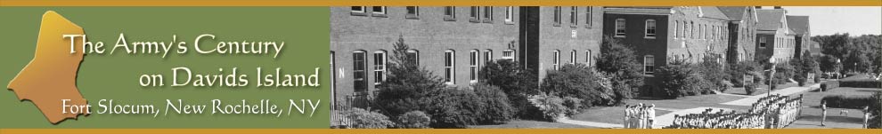
Situated near the western end of Long Island Sound, Davids Island lies one-third mile off the mainland of New Rochelle, New York, southeast of Davenport Neck. It is a pear-shaped island of low relief. From end to end the island is about one-half mile long and has a land area of 78 acres.
Until the first decade of the 2000s, remnants of approximately 100 buildings and structures from former Fort Slocum covered the island. Almost all were severely deteriorated or in ruins. They posed serious safety hazards and impeded renewed use of the island.
Beginning in 2004, the U.S. Congress provided funds to demolish the ruins of the former Army post. Representative Nita Lowey of New York’s 18th Congressional District was instrumental in securing these funds.
The Office of Economic Adjustment, an agency of the Department of Defense, selected the U.S. Army Corps of Engineers to carry out the demolition project. The project removed asbestos from buildings and ruins, demolished structures, disposed of debris and restored the former building sites. Demolition started in late 2005 and finished in early 2009.
The Corps project removed all Fort Slocum’s buildings and most of its above-ground structures. It left a few historic features, such as the 1890s-era Mortar Battery, the Rodman Gun Monument and the road system.
The City of New Rochelle has owned Davids Island since 1976. The island is closed to the public.
The associated .kml files are available for download here.


 Davids Island
