|
Results of the two seasons of archeological fieldwork sponsored by the U.S. Army Corps of Engineers and related studies of historical documents indicate that the archeological deposits from the Army’s century on Davids Island are essentially urban in character. The density and intensity of development and terrain modification more closely resemble an urban area than a rural area.
Patterns of Change
In many sections of Fort Slocum, there were a minimum of two generations of structures built on the landscape between the 1860s and 1960s. Even many of the areas that were open space in the last decades of Fort Slocum’s active service had been occupied by buildings in earlier years.
As Fort Slocum developed, the Army tended to build larger buildings and alterations to the terrain of Davids Island tended to become deeper and more extensive. In addition, systems of underground utilities (water, sewer, electrical, telephone) were installed and repeatedly improved during the life of the post. These alterations tended to obscure or entirely erase the archeological traces of earlier periods, a common occurrence in urban areas.
This repeated cycle of construction, maintenance and improvement, demolition and new construction shaped and reshaped the terrain of the island. Surface reconnaissance and examination of soils exposed in shovel tests, trenches and test units revealed several different types of artificial features at Fort Slocum:
- Shoreline fills;
- Foundation fills and landscape terracing;
- Fortifications;
- Waste disposal areas;
- Deep earth cuts; and
- Shallow cut/fill, graded and landscaped areas.
Historic Landscape
DI06k-11004Foundation fill and landscape terracing provided a small patio-like area behind the Commanding Officer's Quarters (Building 1, demolished August 2008), April 2006. 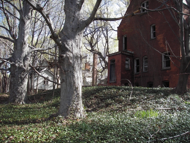  DI06k-12048Altered landscape on the eastern side of Davids Island comprising a late 19th-century seawall with shoreline fill behind it (to right of wall), April 2006. 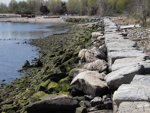  DIL-37Modified terrain in the Officers' Row area of Fort Slocum--a graded hill slope interrupted by a retaining wall to the east of Howard Road, near the former sites of Buildings 7 and 8, April 2008. 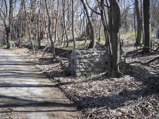 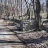 IMGP0594rComplex landscape modification at one of Fort Slocum's fortifications, Pit A of Battery Haskin, part of the Mortar Battery, December 2008. Construction of the battery required deep excavation through soil and bedrock (left), followed by reinforced concrete construction and emplacement of earth fills (right).  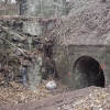 IMGP0650rWith the demolition of Fort Slocum's buildings in 2005-2008, artificial terrain features such as this foundation fill prism for one of the former barracks (Building 55), ascended by an abandoned flight of stairs, remain as vestiges of Fort Slocum's former built-up landscape (photographed December 2008). 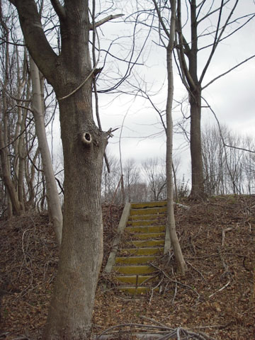 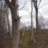 IMGP2521 m2Line of nearly-upright bricks discovered buried beneath 7 inches of soil during excavation of an archeological test unit near one of the officers' quarters (Building 6), October 2006. The line of bricks marked the former edge of a sidewalk constructed in the 1880s that was later partially demolished by removal of the surface brickwork. 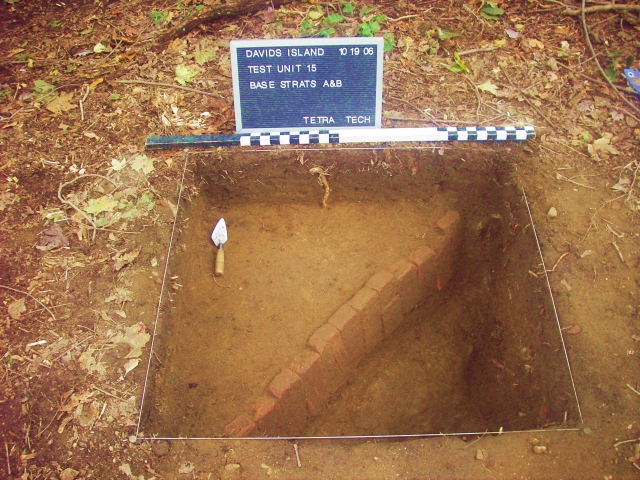  James Sgt Jake Slocum golf 1930sIn 1926, personnel at Fort Slocum installed a small but challenging 9-hole golf course across the post's landscape. The golf course remained in use until around 1942. Here Sgt. Jake James taps a putt toward a hole on the Parade Ground in the 1930s. 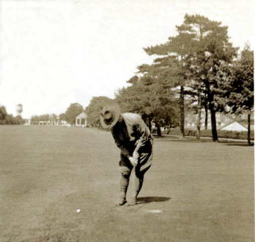 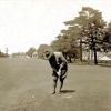
Two Generations of Sidewalks
An excavation near Building 6 on the western side of the Parade Ground produced a vivid example of the repeated reshaping of Fort Slocum’s terrain. This test unit was located a little north of a concrete sidewalk that runs diagonally across the Parade Ground.
About 7.5 inches below the present ground surface, excavators encountered bricks standing upright and arranged in a line parallel to the sidewalk. Further investigations showed that this line of bricks was a remnant of an older brick walkway—probably built in the 1880s—that had been partly removed and buried when the current concrete walkway was constructed in about 1940.
Historic photographs show that the Army also employed wood board sidewalks on Davids Island during and soon after the Civil War. However, no archeological evidence of this earliest generation of sidewalks has been found.
|


